Water Survey of Canada - 05HB
History and Overview

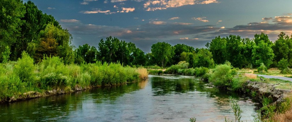
The Alberta portion of the South Saskatchewan River East sub-watershed is located almost entirely within Special Area No.3, a rural municipality in the east central region of Alberta. A small portion lies within the MD of Acadia No.34 north of Empress near the Alberta / Saskatchewan border.
The landscape and ecology of this sub-watershed are similar to others in the region.
While Green’s Lake is the only named water body (on the Alberta portion of the sub-watershed), the retreat of glaciers at the end of the last ice age resulted in a gently-rolling land surface pock-marked with countless depressions that have evolved into shallow, unnamed wetlands or “prairie potholes” of various permanence and size.
The wetlands support a high natural biodiversity of plants and animals. According to Alberta Environment, over 150 species of birds depend on wetland environments in Alberta for at least some part of their life cycle while many others, though not wholly dependent on wetlands, use these areas for feeding, nesting or cover.
Farming in this area is primarily dryland, in contrast to the heavily irrigated southern sub-watersheds. The hamlet of Sibbald and the town of Leader are two of the communities in this sparsely populated region; the town of Oyen lies to the west.
Risks and Pressures
Winters are cold and dry in this sub-watershed and precipitation is low, averaging just over 300mm per year; most of it falling in the summer months. This semi-arid region supports a largely rural population on mixed ranching and grain farms.