Water Survey of Canada - 05AJ
History and Overview

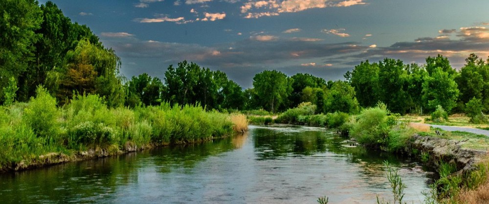
The South Saskatchewan River West sub-watershed extends from where the South Saskatchewan River begins at Grand Forks, at the confluence of the Bow and Oldman Rivers, to Redcliff in the northeast and Chin Coulee to the south. This primarily rural, agricultural sub-watershed stretches across Cypress County, the County of Forty Mile No.8 and the MD of Taber, and includes the towns of Bow Island and Redcliff, as well as the hamlets of Grassy Lake and Burdett.
This region is recognized as having the province’s best climate. It has long warm summers with the longest frost-free period and the most sunlight hours, and short winters punctuated by warm chinook winds.
While there is some dryland farming, highly productive irrigated agriculture dominates this semi-arid region and a network of reservoirs and irrigation canals supply water for agricultural, domestic, commercial and recreational use. Irrigation infrastructure also provides valuable bird and wildlife habitat. The St. Mary River Irrigation District controls several lakes and off stream reservoirs within the sub-basin including: Yellow Lake, Sherburne (Grassy Lake) Reservoir, Forty Mile Coulee, and Sauder Reservoir (Rattlesnake Lake), a very popular fishing and camping spot.
In another nod to the value of agriculture in this region, the Bow Island provincial grazing reserve covers just over 14,000 hectares of flat, gently rolling grasslands in this sub-watershed.
Formed in 1965, it was originally part of Alberta Agriculture’s irrigation settlement program but the grazing reserve also provides a number of recreational opportunities. The uplands are used for hunting and the riverside forests and river are used for hunting, fishing and canoeing.
The South Saskatchewan River – West sub-watershed reflects the most monitored region of all the six SEAWA sub-watersheds, and is the most immediately impacted by the upstream conditions from the Bow River and Oldman River.
Water quantity (River Flow Quantity Index) and water quality (River Water Quality Index) are monitored and measured by Alberta Environment – on the South Saskatchewan River, upstream of Medicine Hat. At this location, Alberta Environment also monitors a variety of individual water quality parameters such as Phosphorus, Nitrogen, E.coli, Total Dissolved Solids, among others.
Risks and Pressures
Water quality along the mainstem of the South Saskatchewan River is largely determined by the water quality of the inflowing Bow and Oldman rivers and the major factors influencing the region’s water quality are modifications in river flows by upstream reservoir operations and other diversions, as well as agricultural and municipal return flows.
At various times through the year, other factors play a larger, more local role influencing water quality. The contribution of surface runoff during the spring and early summer increases total suspended solids and turbidity and other water quality issues associated with those particles, and during periods when the relative contribution of groundwater increases, nitrogen, total dissolved solids and other parameters are affected.
Pharmaceuticals, hormones, and other known or suspected endocrine disrupting compounds have been detected in Alberta rivers. However, there is still limited research available on the regional implications of the presence of these compounds and additional monitoring of organic wastewater contaminants in the SSRSB surface waters is needed.
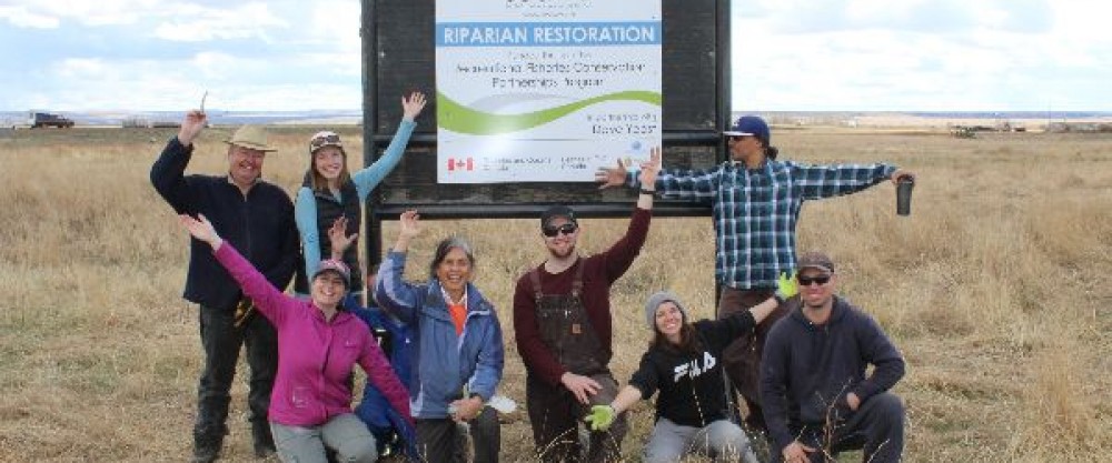
Photo Gallery
This gallery provides a photos of SEAWA’s South Saskatchewan River – West sub-watershed.
If you are able to help, send us a photo or video of our river, streams, wildlife, and waterways. We’ll be sure to include it in our photo and video album!