
About SEAWA
Working together for healthy watersheds in South East Alberta
SEAWA is a multi-stakeholder, volunteer-based Watershed Planning & Advisory Council (WPAC) dedicated to collaborative watershed management across the South Saskatchewan River Sub-Basin.
Acknowledgement
Land Acknowledgement
SEAWA recognizes that our work occurs within the territories of Treaty 4 and Treaty 7, with staff also joining from Treaty 6, and on the homeland of the Métis. We acknowledge the long history of Indigenous Nations whose knowledge systems, stewardship practices, and relationships with these lands continue to guide responsible care of water and ecosystems. This history shapes how we approach watershed planning, informed by Indigenous science and the responsibility to maintain these landscapes for future generations. We honour these communities by committing to respectful collaboration and ongoing learning in our stewardship and watershed work.
Who We Are
The South East Alberta Watershed Alliance
A locally informed approach to watershed planning.
Built on collaboration, shared knowledge, and inclusive planning across southeast Alberta.
Origins & Role
The South East Alberta Watershed Alliance (SEAWA) brings people together to care for water across southeast Alberta. Our work began in 2007, when regional partners identified the need for a collaborative, locally informed approach to watershed planning. SEAWA was registered as a not-for-profit society in Alberta in 2008 and was formally recognized as a Watershed Planning and Advisory Council (WPAC) by the Government of Alberta in 2010. Today, SEAWA is one of eleven WPACs in the province and operates as a multi-stakeholder, volunteer-based organization.
Watershed Scope
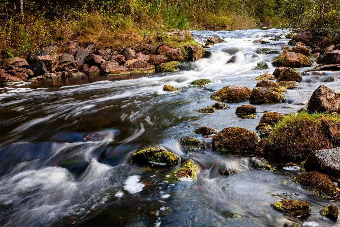
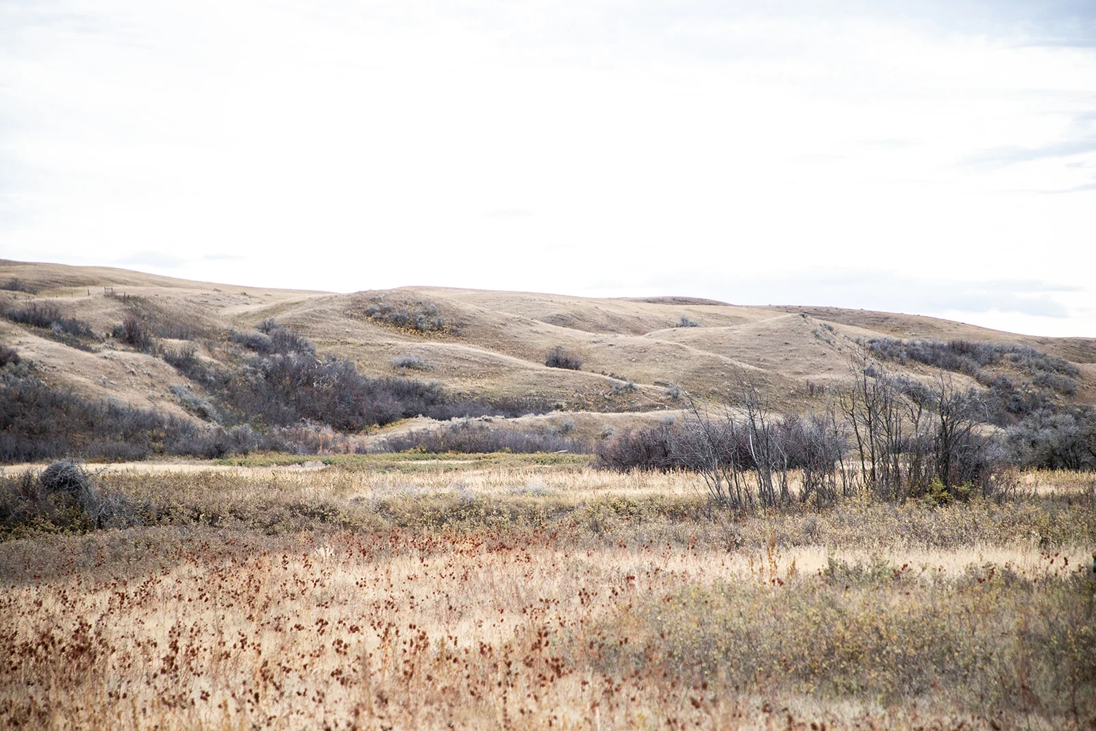
SEAWA’s watershed area includes the South Saskatchewan River Sub-Basin within Alberta and the Pakowki Lake watershed, a closed-drainage system. Together, these watersheds cover nearly 20,000 km² and include a wide range of landscapes, from prairie grasslands and coulees to the upland environments of the Cypress Hills. This landscape diversity influences how water moves, is stored, and is used across the region.
People & Place
The regional economy and way of life are closely tied to land and water, with agriculture, irrigation, energy development, recreation, and conservation shaping both livelihoods and community priorities. The region also reflects a long history of Indigenous presence and stewardship, alongside strong rural traditions that continue to influence local values and decision-making.
Planning Context
The SEAWA watershed lies primarily within Alberta’s semi-arid Grassland Natural Region and includes portions of the Cypress Hills Natural Region. It forms part of the South Saskatchewan Region as identified under Alberta’s Land-use Framework. Through collaboration, shared knowledge, and inclusive planning, SEAWA supports healthy watersheds that balance environmental, social, and economic needs across southeast Alberta.