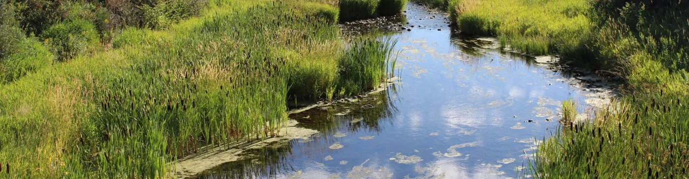
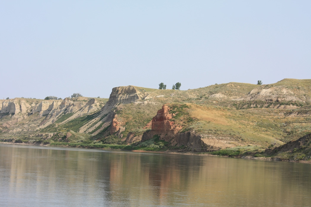
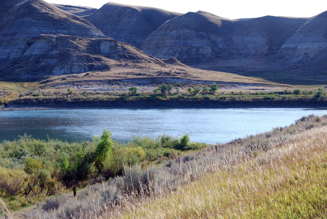
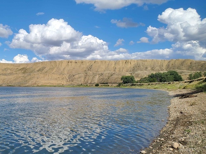
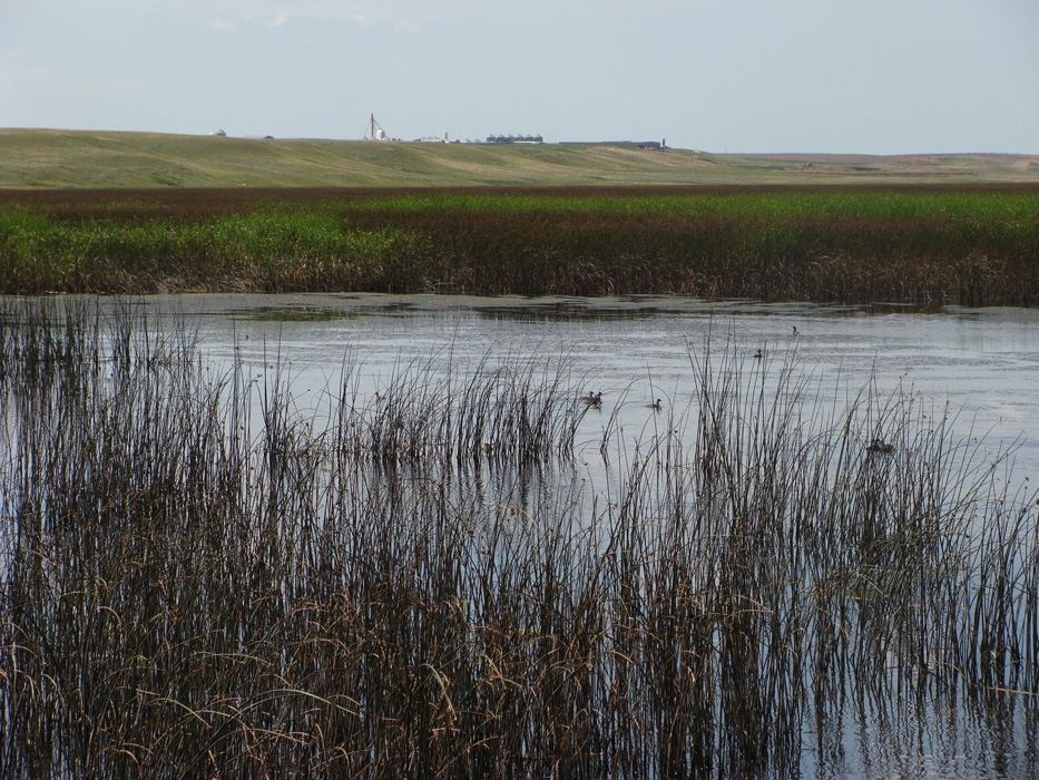
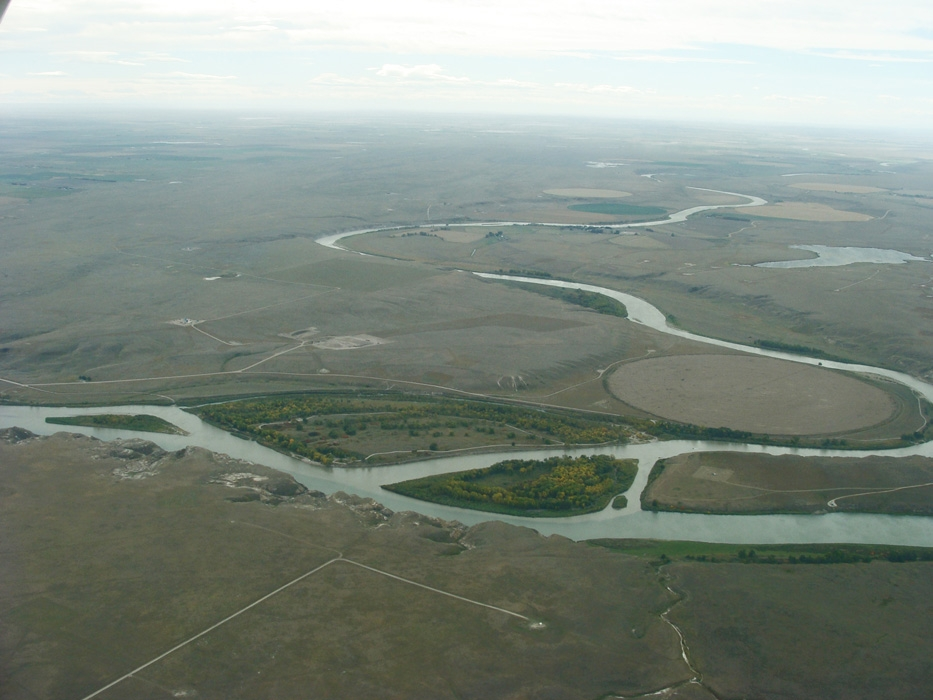
Alberta's South Saskatchewan River Sub-Basin
A major connected river network channeling snowmelt and rainfall across the region to the South Saskatchewan.
Watersheds & Knowledge
Explore river systems, headwaters, and sub-basins that shape life across the prairies. Clear maps, local insights, and resources for schools, landowners, and partners.
Quick looks at smaller basins across the region—maps, photos, and links to learn more.
No posts yet.
The Seven Persons Creek sub-watershed is located primarily south and west of Medicine Hat and includes parts of the City of Medicine Hat, Cypress County and the County of Forty Mile.
The Alberta portion of the South Saskatchewan River East sub-watershed is located almost entirely within Special Area No.3, a rural municipality in the east central region of Alberta.
This central sub-watershed lies north of Medicine Hat and extends into parts of the Alberta–Saskatchewan border region.
Located in southern Alberta, the West segment of the South Saskatchewan River sub-watershed is one of the most closely monitored regions in the area.
The Many Island Lake sub-watershed straddles the Alberta/Saskatchewan border and extends north from Cypress Hills to the hamlet of Schuler.
The Pakowki Lake sub-watershed is located in southeastern Alberta, extending from Raymond to Manyberries.